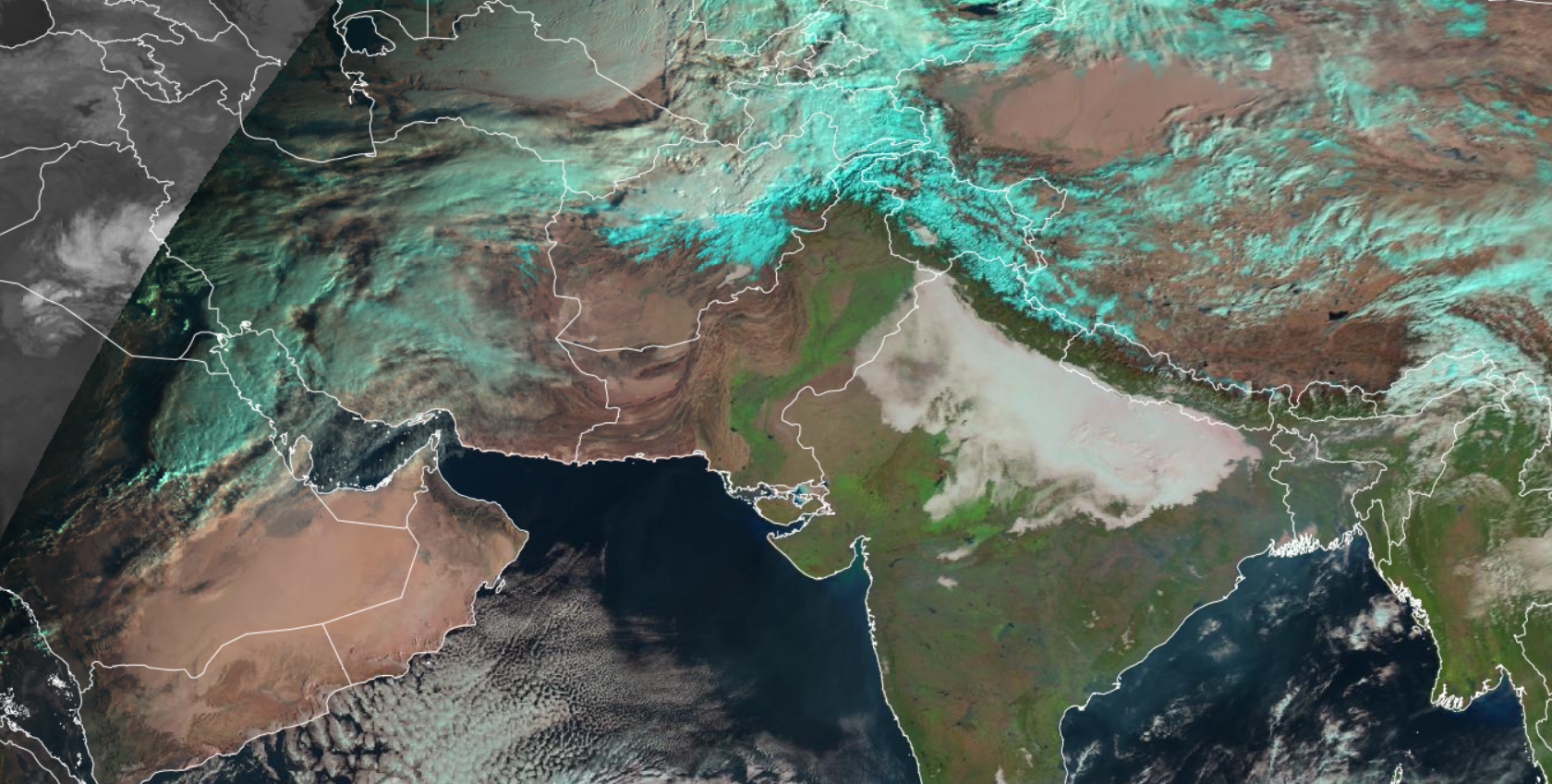
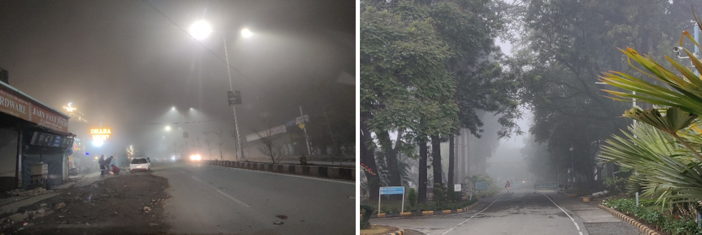
Fog is a cloud of tiny water droplets that forms at ground level and is thick enough to limit horizontal visibility to less than 1 kilometre. The presence of heavy and extended periods of fog in the Indo-Gangetic Plains is one of the major weather hazards, impacting road transportation, aviation, the economy and public life in general. So, it is essential to be able to detect the fog in time, in order to deal with a large number of influence factors. The ground observations, which are manual and automatic visibility measurements, are limited in spatial and temporal coverage. The satellite products especially from geostationary platforms have the advantage of temporally continuous data over a large spatial extent. The present work is on the retrieval of fog from geostationary satellite data over Indo-Gangetic Plains. The state-of-art fog products over IG plains are Fog/Low stratus clouds and that too doesn’t have good accuracy during dawn and dusk. In this research, the emphasises is on the retrieval of pure foggy pixels during the whole day including dawn and dusk. The algorithm has been developed using Random Forest (RF) machine learning techniques. The data used is of MSG (Meteosat second generation) SEVIRI (Spinning Enhanced Visible and Infrared Imager) onboard Meteosat-8 and ground visibility data. The SEVIRI has capability to provide data in 11 spectral bands at 3 km resolution and in one high resolution visible (HRV) band at 1 km resolution every 15 minutes. The sensor has wavelengths ranging from visible (0.56 µm) to thermal infrared (14.40 µm) region of EM spectrum. The ground data used are acquired from Surface synoptic observation (SYNOP) and Meteorological Aviation Routine Weather Reports (METAR). A total of 11 METAR stations and 121 SYNOP stations are available in the study area.
The Random Forest model was trained using SEVIRI data and topography data as inputs and the fog data as target feature. A total of 17,856 images (of three winter seasons i.e. December and January) of SEVIRI are used for the training of RF model. After conducting many experiments and going through many trial and errors a Fog retrieval algorithm was developed to generate a fog map with minimal error. The inputs parameters which are selected here for fog retrieval algorithm includes, the band values from eleven different bands of SEVIRI, some of the band differences and the elevation data. Each parameter contributes to the algorithm’s overall accuracy in its own way. Elevation has the highest importance in the classification of fog, followed by band 1 (0.6 µm) and band 2 (0.8 µm) of SEVIRI. The algorithm developed has been proven capable of detecting fog irrespective of time i.e. day, night, dawn and dusk with high accuracy. Moreover, the final product is the pure fog product rather than Fog/Low stratus clouds. Figure shows typical fog images retrieved during dawn, day, dusk and night on January 7, 2021.
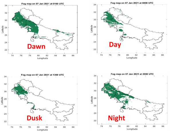
Figure: Fog images retrieved during Dawn, Day, Dusk and Night Time on January 7, 2021
Cross validation results show that the retrieved fog products have good accordance with ground observation data with an overall accuracy of 88% which means the algorithm is successful in classifying 88% of fog and non-fog events. The Hit rate of the classification is 61%, which means that the 61% of foggy pixels were correctly classified.