Reconstructing High Altitude Hazards in Himalaya Using Tree Rings: Observations from the Bhilangana Valley
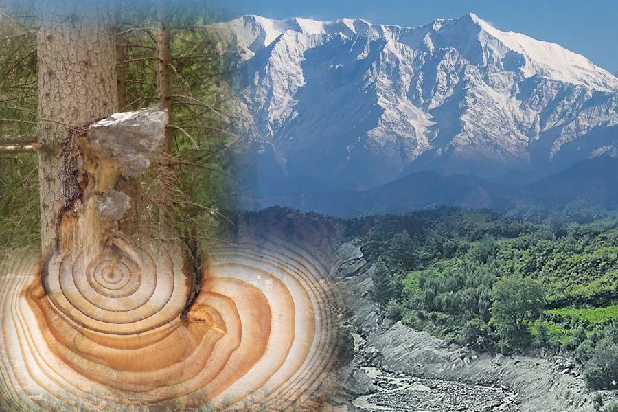
Long-term observational datasets are essential for understanding the magnitude and frequency of past extreme events over extended timescales. In mountain regions where instrumental records are limited, tree rings provide a valuable natural archive of environmental and geomorphic changes. Tree rings are formed by the vascular cambium, a thin layer of dividing cells between the wood (xylem) and bark (phloem). At Continue Reading »