Articles Archive

Unlocking the Aeolian Landscape Using NISAR L-Band Polarimetric SAR

Chandra Mohan Bhatt Chandra Mohan Bhatt et al. | September 16, 2026 | 44 Views | 0 Comments
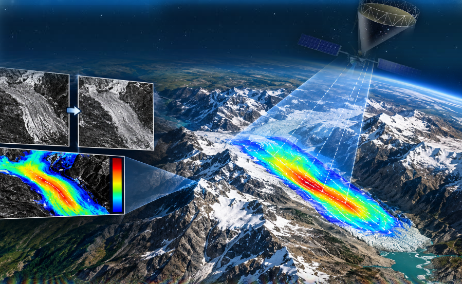
Celebrating one year since its launch, the NASA-ISRO Synthetic Aperture Radar (NISAR) mission leverages dual-frequency (L-band and S-band) polarimetric SAR to map Earth's land and ice masses every 12 days. This study interprets an aeolian (wind-formed) landscape in and around the Jaisalmer district, Rajasthan, using NISAR L-band SAR imagery acquired on June 30, 2026 (HH, HV, and an RGB composite Continue Reading »

Satellite Monitoring of Beetle Damage in North-West Himalayan Sal Forests

Hitendra Padalia Hitendra Padalia et al. | September 8, 2026 | 129 Views | 0 Comments
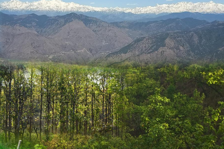
Sal forests cover 11 million hectares in the Indian subcontinent. They are important for the environment and the economy because they support biodiversity and provide a range ecological services including livelihoods of indigenous people. These forests face a major threat from an insect called the Sal Heartwood Borer, or "Hoplo". When these beetles multiply quickly, they kill thousands of trees. Continue Reading »

Insights from Indian NISAR S-band Data for Kharif Rice Transplantation – 2026 around Ludhiana, Northern India

Dipanwita Haldar Dipanwita Haldar | August 10, 2026 | 137 Views | 0 Comments
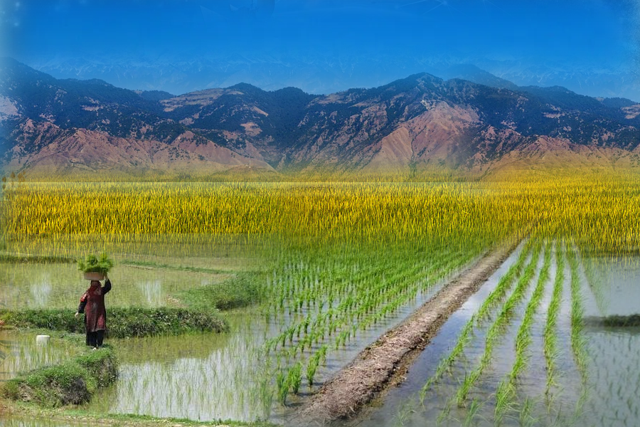
Rice is the staple food for nearly two-thirds of India's population, particularly in eastern, northeastern and southern India, and is also consumed occasionally in the northern and central parts of the country. Indian Council of Agricultural Research (ICAR) is executing a 5-year pilot project on crop diversification (2023–2028) under the National Food Security and Nutrition Mission (NFSNM) in order to Continue Reading »

Seeing Through Forests: How NISAR Reveals What Lies Beneath

Ashish Joshi Ashish Joshi et al. | August 3, 2026 | 291 Views | 0 Comments
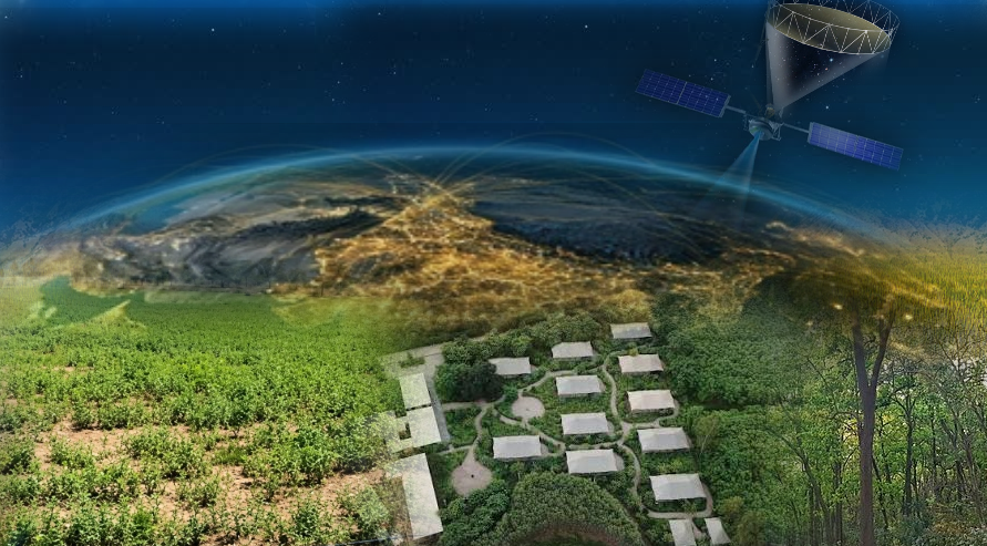
What if a satellite could detect a water-logged surface beneath the dense forests, which is invisible to ordinary optical cameras? A new Radar Imaging Satellite, NASA-ISRO Synthetic Aperture Radar- NISAR, is making this possible, helping scientists and researchers to understand the forests, wetlands, vegetation, and environmental changes in a completely new way. NISAR is an exciting new Earth-observation satellite mission Continue Reading »

Reconstructing High Altitude Hazards in Himalaya Using Tree Rings: Observations from the Bhilangana Valley

Chandra Mohan Bhatt Chandra Mohan Bhatt et al. | July 10, 2026 | 185 Views | 1 Comments
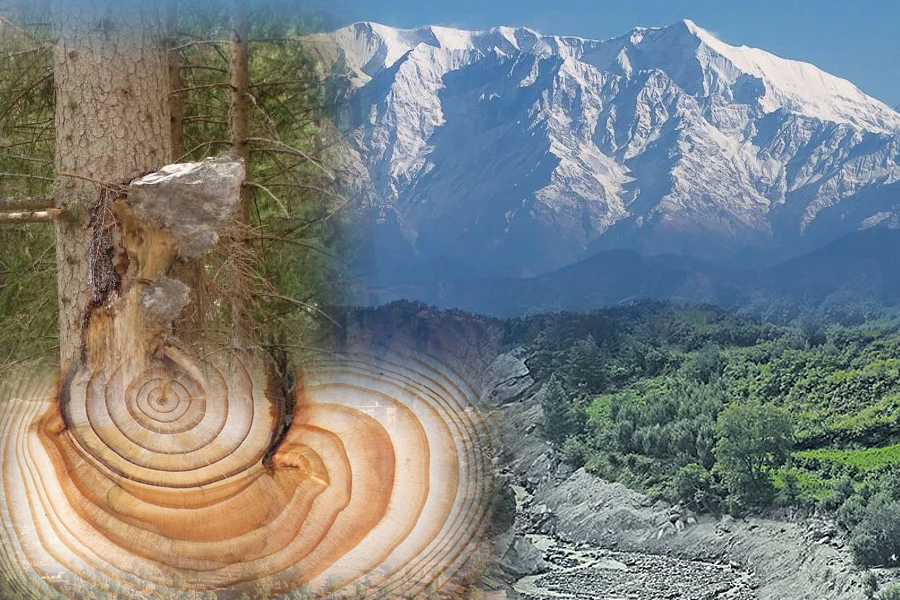
Long-term observational datasets are essential for understanding the magnitude and frequency of past extreme events over extended timescales. In mountain regions where instrumental records are limited, tree rings provide a valuable natural archive of environmental and geomorphic changes. Tree rings are formed by the vascular cambium, a thin layer of dividing cells between the wood (xylem) and bark (phloem). At Continue Reading »