Sonakshi Mehrotra and Anil Kumar
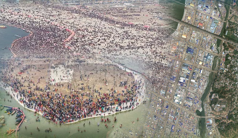
The Kumbh Mela 2025 in Prayagraj, a grand spiritual and cultural congregation, presents unique challenges and opportunities for effective monitoring and management. With millions of pilgrims expected, temporal remote sensing technology offers a dynamic approach to track spatial and temporal changes, including land-use transformations, crowd density patterns, and infrastructure development. High-resolution satellite imagery like DOVE satellites and UAVs equipped with sensors can provide real-time data on environmental impact, water quality in the Ganga and Yamuna rivers, and vegetation changes. Integrating these technologies with AI/ML techniques further enhances their utility by enabling real-time crowd density estimation at the rate of 3 to 7 days’ interval (Figure 1). Further while integrating DOVE satellite data with UAV images can be helpful in traffic flow analysis, waste management optimization, and pollutant detection. Machine learning models can analyse these DOVE as well as UAV based multispectral and hyperspectral imageries to monitor urban expansion at 3 to 7 days’ interval and vegetation dynamics, while predictive models can assist in resource allocation, disaster preparedness, and risk mitigation. This fusion of temporal remote sensing with AI/ML represents a transformative approach, ensuring the safety, sustainability, and smooth conduct of this large-scale event.

Figure 1: Time domain Information from DOVE Satellites


