Most Viewed Articles

Fusion of Digital Elevation Models for improved topographic representation

Dr. Ashutosh Bhardwaj | March 19, 2024 | 1026 Views
Digital Elevation Models (DEMs) are crucial for studying natural phenomena. Recent research at IIRS has focused on enhancing DEMs through advanced techniques like combining data from Remote Sensing, Satellite Photogrammetry, and SAR Interferometry (InSAR/IfSAR), as well as Spaceborne LiDAR. Notably, studies in the Ghaziabad and Dehradun regions have shown significant improvements in DEMs through fusion methods. Analyzing fused DEMs from Continue Reading »

Algal bloom in the ocean: Role of remote sensing

Dr. Debashis Mitra | March 14, 2024 | 1018 Views
Algae are photosynthetic, tiny marine organisms whose cells are eukaryotic. Algae can inhabit the freshwater as well as the marine ecosystem. The different categories of phytoplankton for example, diatoms and dinoflagellates are examples of unicellular, floating algae. Although most types of phytoplankton do not possess any toxicity, a few species of dinoflagellates are able to produce toxins that could be Continue Reading »

From Space to Fields: Satellite observations for Agriculture Fire and Pollution

Dr. Yogesh Kant | March 16, 2024 | 1013 Views
In Asia, around 45% of biomass burning comes from forest fires, 34% from crop residue/agriculture residue fires (stubble fires), and 20% from grassland & savanna fires. The proportion of biomass burning is highest in China (25%) followed by India (18%). In India, the rice wheat cropping system is the most widely practiced cropping system in Northwest India particularly in Punjab, Continue Reading »

Fallout radionuclides (FRNs) for Soil Erosion Measurements in the Himalayan region

Dr. Suresh Kumar | March 13, 2024 | 1000 Views
Soil erosion is a major land degradation problem and poses serious environmental and socio-economic crisis worldwide. The Himalayan hills and mountains are very fragile and being threatened by land degradation caused by soil erosion by water that poses serious challenges to the soil ecosystem services and sustainability of natural resources. Reliable estimate of long-term soil erosion rate of various land Continue Reading »

Remote Sensing and Archaeology: Uncovering the Past

Shefali Agrawal | April 5, 2024 | 991 Views
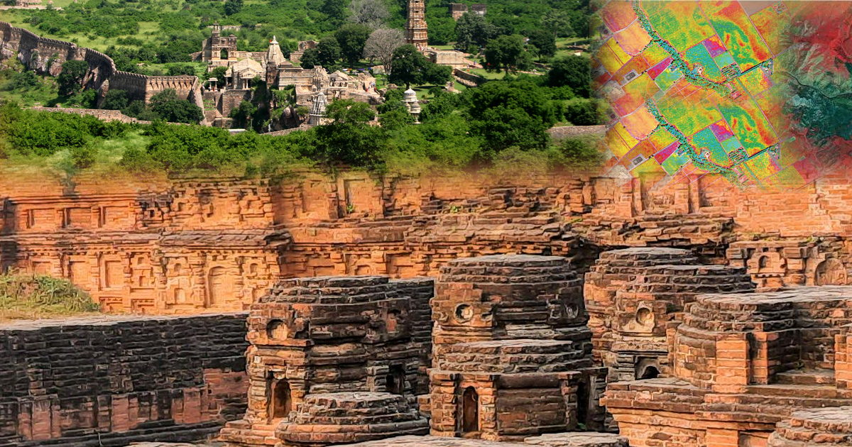
The power of earth observation, proximal sensing, in-situ observations and their interpretation has tremendously increased, enabling us to perceive the invisible and gain fresh insights into the past and our own identity. Various studies have demonstrated that RS has played a significant role towards archaeological research and in developing a broad understanding of the past. This is because of their Continue Reading »