Most Viewed Articles

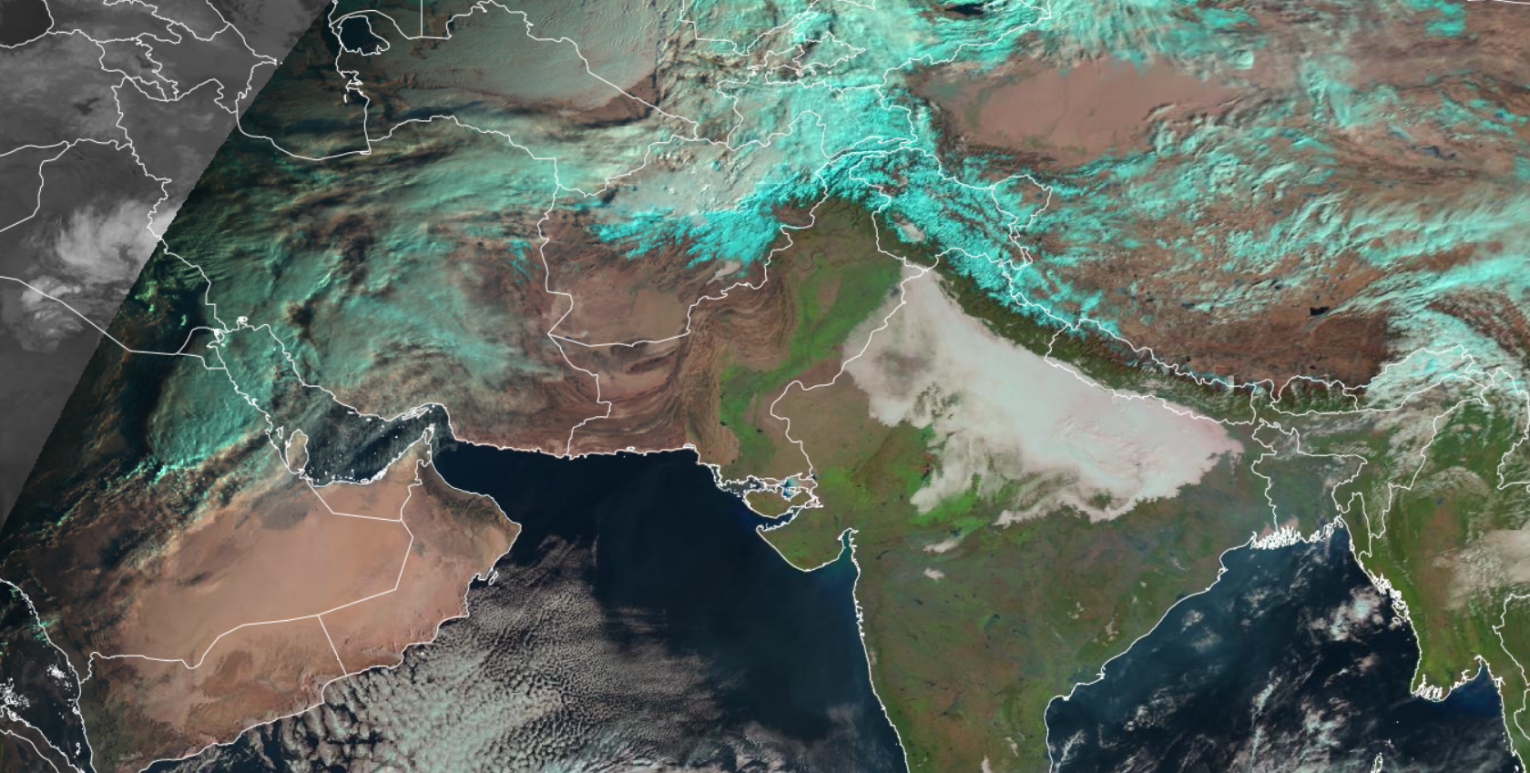
Space Base Fog estimation using SEVIRI data

Pooja Jindal Pooja Jindal | January 24, 2025 | 603 Views | 0 Comments
Fog is a cloud of tiny water droplets that forms at ground level and is thick enough to limit horizontal visibility to less than 1 kilometre. The presence of heavy and extended periods of fog in the Indo-Gangetic Plains is one of the major weather hazards, impacting road transportation, aviation, the economy and public life in general. So, it is Continue Reading »

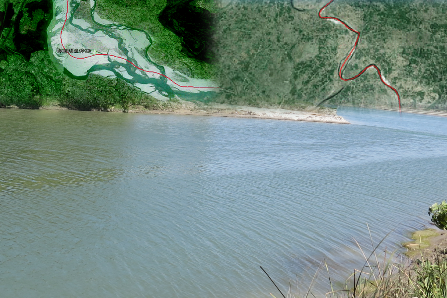
Monitoring Changing Course of Gandak river in Bihar, India       

Raghavendra P Singh Raghavendra P Singh | September 25, 2024 | 583 Views | 0 Comments
Life of earth is linked to availability of water and rivers provides water to sustain the human civilization. Ganga river is one of the longest river in India and  is associated with sediment transport and meandering. Ganga river originate in the Himalayas, and it carries lot of sediments. Sediment deposition prevent  any river from flowing straight and cause meander. Gandak Continue Reading »

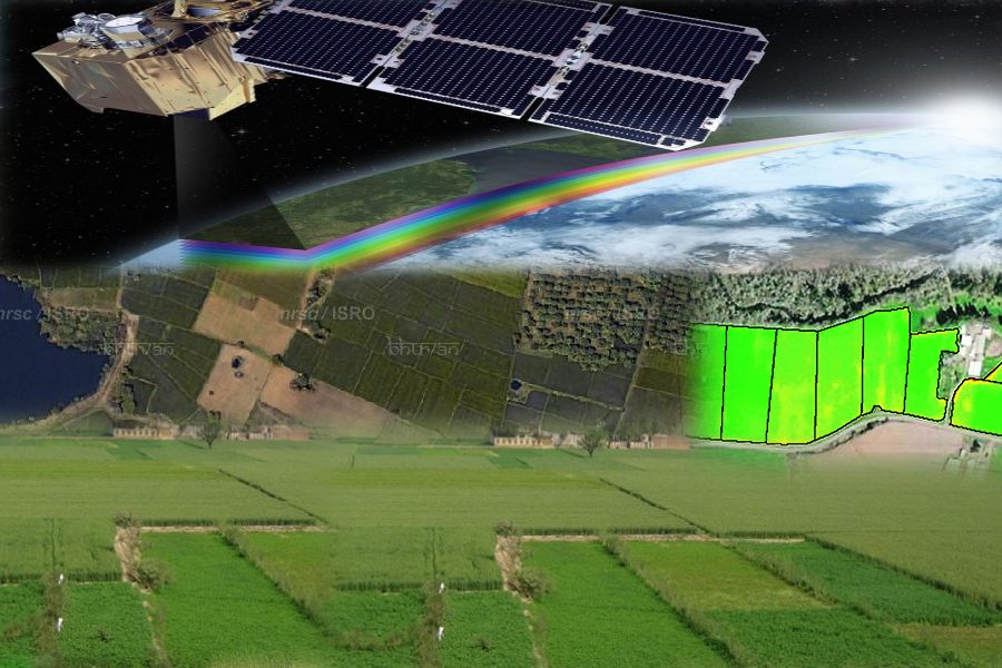
Distinct Cropping Practice Separated by River in Parts of Indo Gangetic Plain

Raghavendra P Singh Raghavendra P Singh | October 14, 2024 | 579 Views | 0 Comments
Multi temporal NDVI composite help in distinction of rice and sugarcane dominated regional patterns in northern India Agriculture is important for the Indian society due to its importance in economy, employment, food security,  national self reliance and general well being. Generation of crop statistics in India dates back to historical Mauryan ( Kautilya’s Arthasastra)  as well as Moghul era (Todarmal Continue Reading »

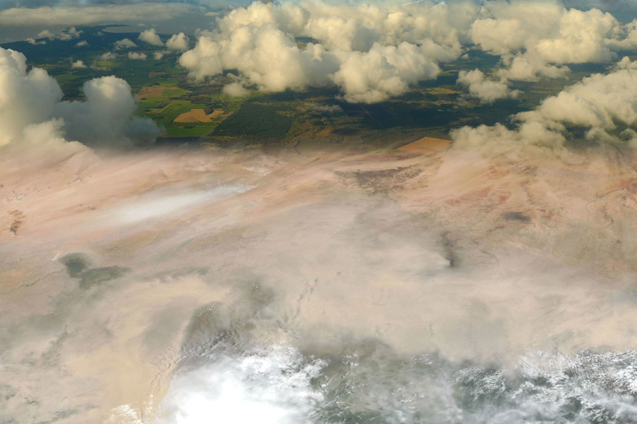
Global Evaluation of Sentinel 2 Aerosol Optical Thickness retrievals

Dr. Manu Mehta Dr. Manu Mehta | January 6, 2025 | 533 Views | 0 Comments
Dr. Manu Mehta and Mr. Akhilesh Kumar This recent study at Indian Institute of Remote Sensing (IIRS), ISRO, presents the first known comprehensive global validation of Aerosol Optical Thickness (AOT) measurements derived from the Sentinel 2 Sen2Cor algorithm, covering a significant period of 5 years from 2018 to 2022 utilizing an extensive dataset from over 400 AERONET stations (each year) Continue Reading »

Estimating aerosol loading from satellite signals – A simplified Physics based approach

Dr. Manu Mehta Dr. Manu Mehta | June 10, 2024 | 524 Views | 0 Comments
Manu Mehta and Akhilesh Kumar Estimating atmospheric aerosol levels is crucial for accurate radiative forcing calculations, understanding aerosol effects on cloud formation, assessing human health impacts, and planning pollution control. Continuous monitoring of aerosols in both space and time is essential to understand its effects in human life. Ground-based networks like AERONET and ARFINET use instruments such as sun-photometers and Continue Reading »