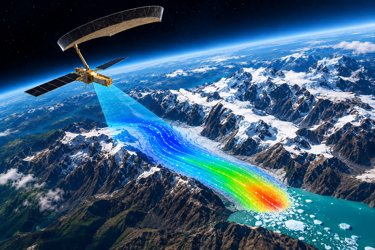
Evaluation of CartoDEM with ICESat-2 and GEDI Spaceborne LiDAR datasets over parts of Moga, Punjab
 Ashutosh Bhardwaj |
July 14, 2025 |
74 Views |
1 Comments

Authors- Ashutosh Bhardwaj, Hari Shankar Srivastava and Raghavendra Pratap Singh Spaceborne LiDAR datasets are contributing immensely for the topographic, ice mass-balance and vegetation related studies. It provides a global view of changes occurring in elevation over Earth. CartoDEM Version 3 Release 1 openly accessible datasets are currently the most reliable datasets for the relatively plain regions in India. The study Continue Reading »
 Apoorva Malviya |
October 13, 2026 |
70 Views |
1 Comments