Most Viewed Articles

Inhabitation on rock glaciers in Himalaya: nature, humanity and sustainability

Pratima Pandey Pratima Pandey | May 25, 2026 | 161 Views | 1 Comments
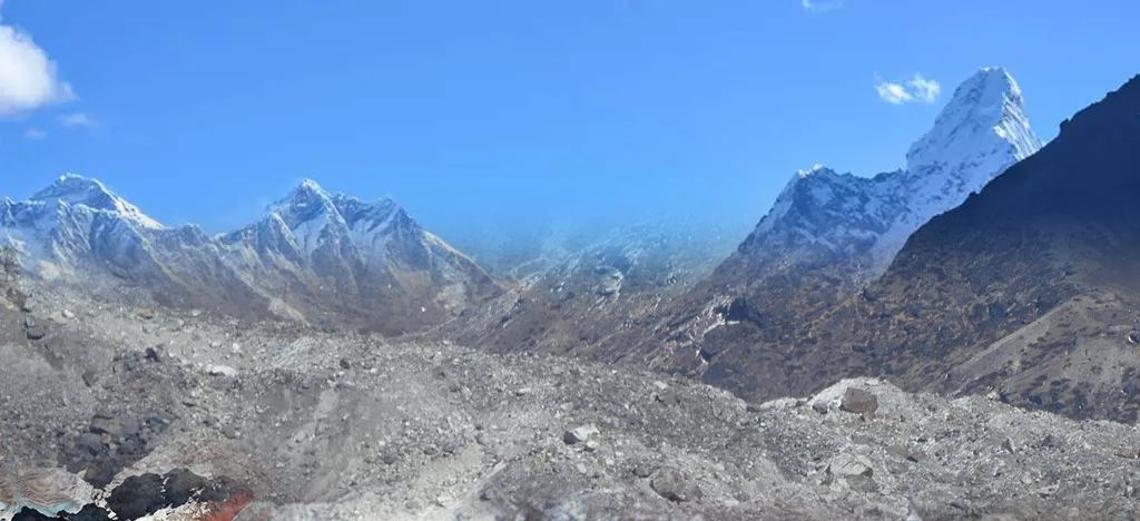
Rock glaciers in cold-arid part of northwestern Himalaya appear to be more directly and extensively a part of human settlement and land use than glaciers and have a greater and more immediate impact on livelihood. In the cold semi-arid part of Himalaya, most of the civilization has developed in the peri and paraglacial environment and thus permafrost and rock glaciers Continue Reading »

From Layers to Language: Reimagining GIS in the Age of Generative AI 

Harish Chandra Karnatak Harish Chandra Karnatak | April 20, 2026 | 155 Views | 1 Comments
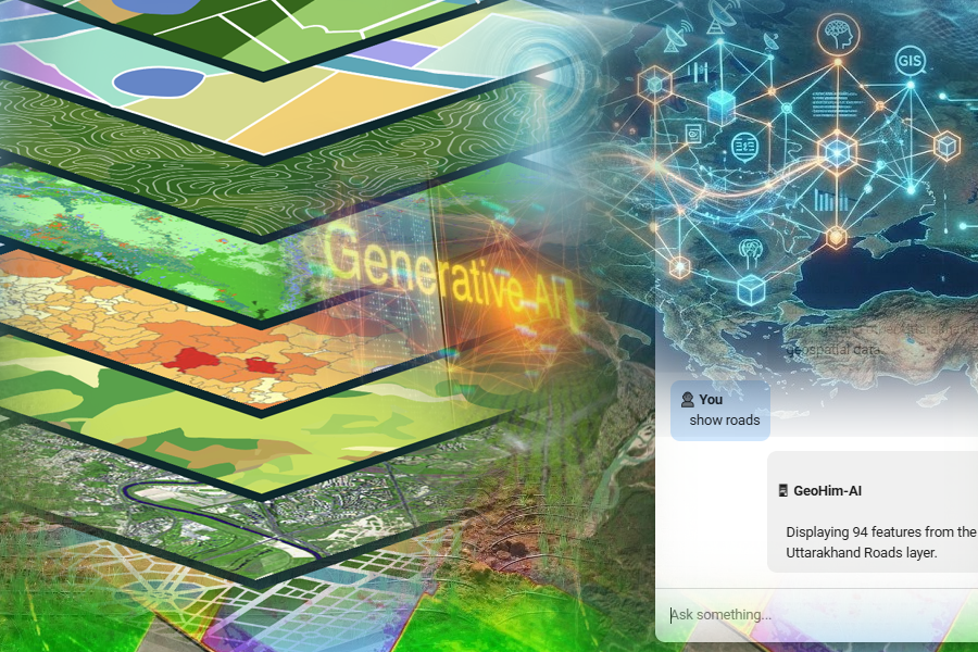
For many years, Geographic Information Systems (GIS) have been seen as complex and highly technical. Even simple tasks like identifying flood‑prone areas or finding suitable land for development require expert knowledge and advanced software skills. Because of this, decision‑making often depended on a small group of GIS specialists. The delay was not because the analysis was difficult, but because the Continue Reading »

Big Data Analytics: Concepts and Techniques

Kapil Oberai Kapil Oberai | January 1, 2026 | 154 Views | 0 Comments
Authors: Kapil Oberai and Rohith Rajan Data is a collection of facts, numbers, words, and pictures. Data is everywhere, from social media posts to smart watch steps. Information is what we get when we organize and understand that data. Why are we talking about "big" data now? The reason is that, there's whole lot more of it and its being Continue Reading »

How Digital Twins of the Earth Are Changing Decision-Making

Shefali Agrawal Shefali Agrawal | January 12, 2026 | 153 Views | 2 Comments
What if we had a digital copy of Earth that could help us test decisions before making them in real life? This is exactly what scientists are building today through Digital Twins of the Earth. A digital twin is a virtual representation of the real world that is continuously updated using satellite, weather station, sensor, and computer data. Unlike a Continue Reading »

Unlocking the Aeolian Landscape Using NISAR L-Band Polarimetric SAR

Chandra Mohan Bhatt Chandra Mohan Bhatt | September 16, 2026 | 147 Views | 2 Comments
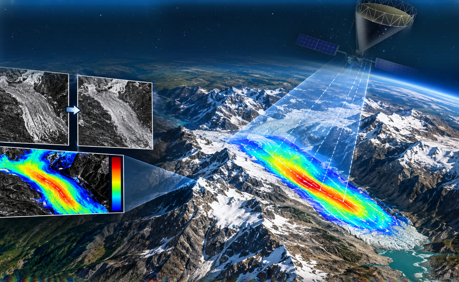
Celebrating one year since its launch, the NASA-ISRO Synthetic Aperture Radar (NISAR) mission leverages dual-frequency (L-band and S-band) polarimetric SAR to map Earth's land and ice masses every 12 days. This study interprets an aeolian (wind-formed) landscape in and around the Jaisalmer district, Rajasthan, using NISAR L-band SAR imagery acquired on June 30, 2026 (HH, HV, and an RGB composite Continue Reading »