Most Viewed Articles

Spatio-temporal variability of partial pressure of carbon dioxide over the north Indian Ocean using satellite data

Sachiko Mohanty Sachiko Mohanty | March 20, 2024 | 1172 Views | 0 Comments
Since the beginning of the industrial era, the anthropogenic carbon dioxide (CO2) concentration has been steadily increasing in the atmosphere caused by deforestation, fossil fuel, biomass burning, cement manufacturing, various land-use practices, and other anthropogenic activities. The ocean absorbs one-third of the total anthropogenic CO2 from the atmosphere and plays an important role in the mitigation of global warming and Continue Reading »

Vision Transformers for Remote Sensing Applications

Surendra Kumar Sharma Surendra Kumar Sharma | October 22, 2024 | 1150 Views | 0 Comments
Remote sensing has become an indispensable tool for various applications, including environmental monitoring, urban planning, and disaster management, and many more. With the increasing availability of high-resolution satellite and aerial imagery, there is a pressing need for advanced image analysis techniques. Traditionally, convolutional neural networks (CNNs) have dominated the field of computer vision; however, vision transformers (ViTs) have emerged as Continue Reading »

Slope stability and landslide hazard assessment- Limit equilibrium based case study in parts of Mandakini river basin

Shovan Lal Chattoraj Shovan Lal Chattoraj | May 28, 2024 | 1141 Views | 0 Comments
In India, the active areas with Landslides in the Himalayan region and the ongoing process of development in this area can be impeded by the associated risks and hazards posed by these events. The Garhwal Himalaya region, in particular, has a history of landslides, some of which are well-known and triggered by co-seismic events. While rainfall and earthquakes are commonly Continue Reading »

Insights of SAR Raw Data Processing: EOS-4 SAR Data

Ashish Joshi Ashish Joshi | August 12, 2024 | 1127 Views | 0 Comments
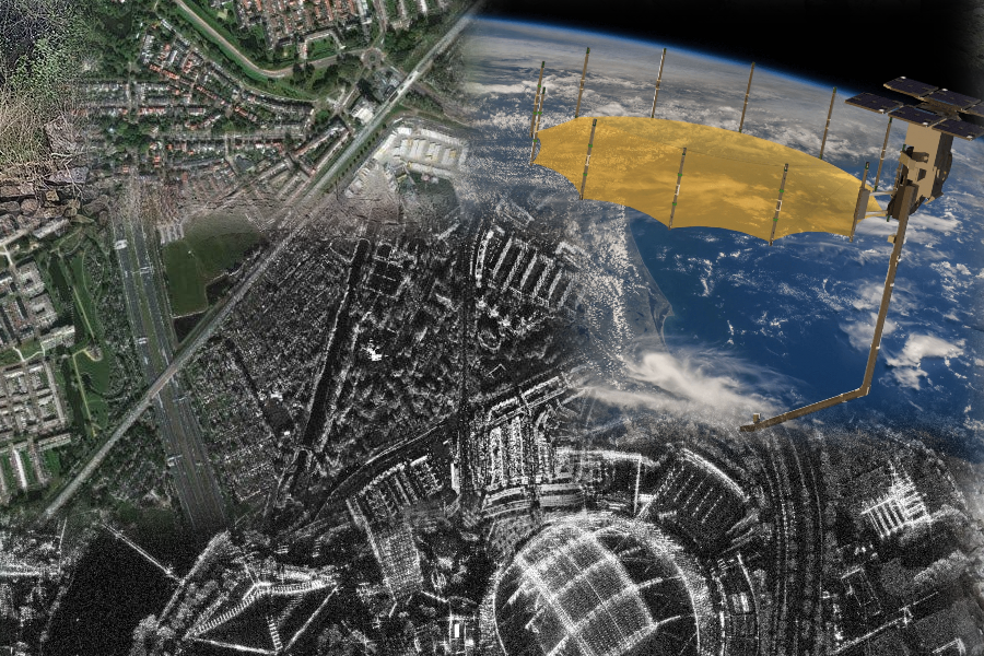
In optical sensors, the features can be seen in the raw data with some radiometric and geometric distortions but SAR raw data are unfocused images where no feature can be seen in the image. Unlike optical sensors, signal processing algorithms are required to focus the SAR raw data. The processing of SAR raw data is always a challenge because it Continue Reading »

Satellite helps to monitor & support ‘Per Drop More Crop’

Abhishek Danodia Abhishek Danodia | May 20, 2024 | 1093 Views | 0 Comments
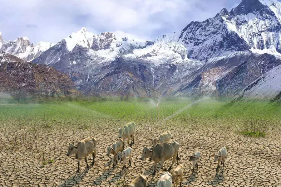
Abhishek Danodia and N.R. Patel Water availability shows the existence of life, so if there is water, there is life. Around 97 percent of the total water available in the oceans while only 3 percent of water is the fresh water, which can be used for drinking, agriculture and industries. In India, about 68 percent of cultivable area comes under Continue Reading »