Satellite-Based Observations for Snow Cover in the Northwest Himalaya
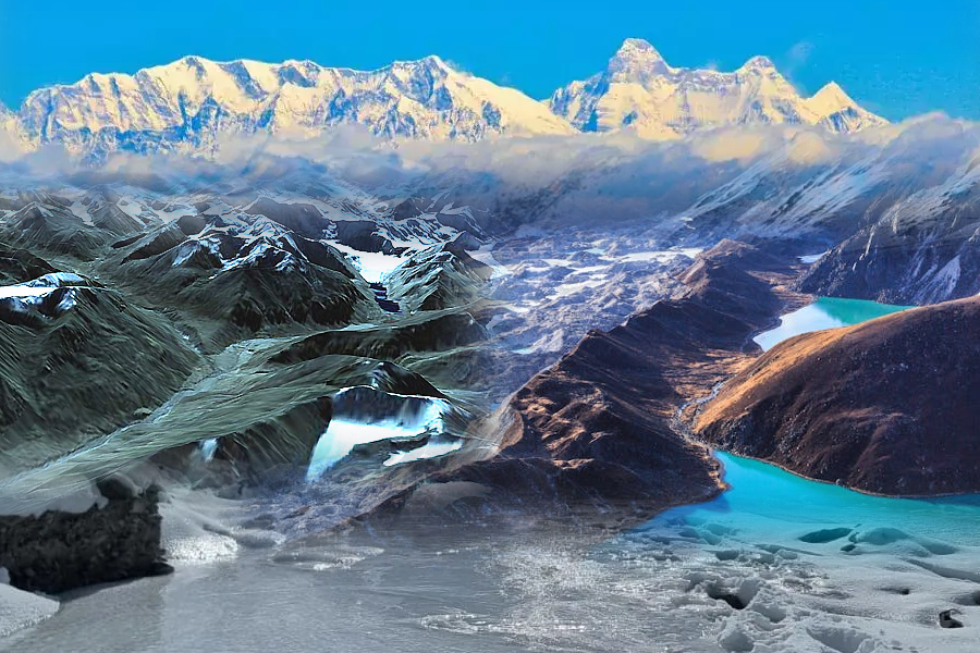
Monitoring snow cover variability is crucial for understanding water resources and climate impacts, as excessive snowfall, increases risks, while early melting disrupts river flows, necessitating continuous satellite observations for effective water management. Praveen Thakur and Sakshi Tripathi Snow cover in the Northwest Himalaya undergoes significant seasonal changes, impacting water availability, climate, and ecological balance. IIRS has generated a daily SCA Continue Reading »